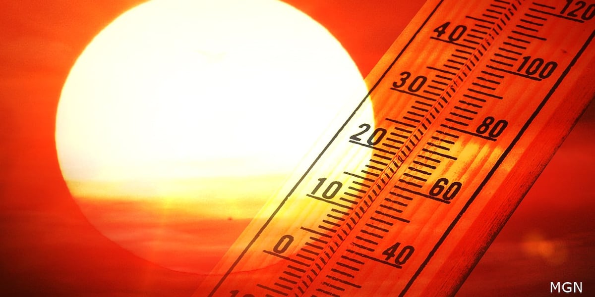
LAS VEGAS (FOX5) — The Las Vegas Valley recorded its warmest February since 2015, and March 1 set a new record high of 86 degrees, as a new study confirms shrinking winters are a long-term trend across the Southwest and beyond.
Dr. Dan McEvoy, a researcher with the Western Regional Climate Center, said the warmth extended well beyond the valley.
“And that wasn’t confined to locally around Vegas. So Phoenix, Salt Lake City, Albuquerque, and a whole bunch of other places around the southwest all had their warmest winters on record,” McEvoy said.
Climate Central study findings
A study from Climate Central examined weather data from 245 cities, comparing the coldest consecutive days between 1970 and 1997 to the frequency of those temperatures between 1998 and 2025. Researchers found that for 80% of the cities studied, winter was an average of nine days shorter.
Juneau, Alaska, lost the most winter days — 62 — while Eureka, California, saw winter grow 50 days longer. Climate Central scientists said Las Vegas now experiences 22 fewer winterlike days.
McEvoy said the findings align with what climate researchers have observed.
“I think it’s pretty universally agreed upon and their data supports it that we are having warmer winters in general,” he said.
Urban heat island adding to warming trend
McEvoy said climate change is not the only factor driving the trend.
“We also have the urban heat island impacts in places like Las Vegas and where I’m at in Reno, where the urbanization of the city is really making it even warmer on top of climate change,” he said.
NOAA records show Las Vegas spent 90 days below freezing in 1948. More than 70 years later, the thermometer has not dipped below 32 degrees since Jan. 22, 2025. The National Weather Service’s latest 30-year survey shows temperatures climbed by at least a half degree between 1981 and 2020.
Rocky Mountain snowpack at 40-year low
McEvoy said this year’s snowpack in the Colorado River basin is also a concern.
“And this year is also turning out to be pretty remarkable with how low the snowpack is in the Colorado River basin. It’s looking at some numbers in the upper Colorado, it’s the lowest snowpack in at least 40 years,” he said.
Snowpack in the Lake Mead Basin sits at about 38% of normal. McEvoy said climatologists who live and work in the mountains describe this as the driest, least snowy winter in decades.
The reduced snowpack is also changing when and how water flows, McEvoy said.
“And now we’re seeing more runoff happening during the middle of the winter, which is introducing water management challenges, especially for areas that have to manage not just making sure the reservoirs are full enough to avoid drought conditions, but also to worry about flood conditions,” he said.
Less snow is expected to translate to less water in the Colorado River this summer. The river is already flowing at critically low levels.
Copyright 2026 KVVU. All rights reserved.