


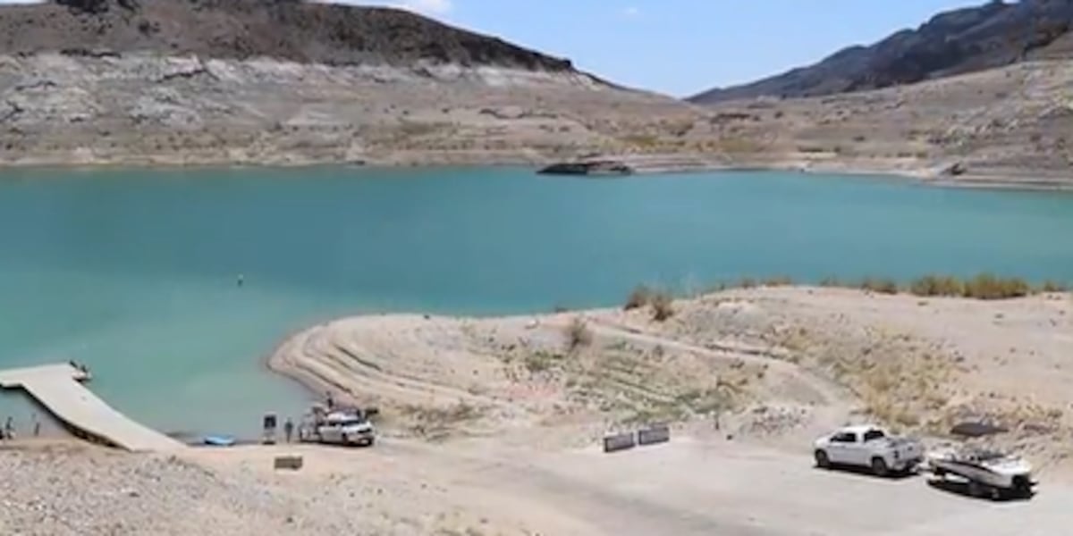

LAS VEGAS (FOX5) — As of Monday August 3, 2026, Lake Mead is sitting at 1,040.98 feet above sea level, just inches from its all-time record low of 1,040.58 feet, set in July 2022.
As water levels continue to drop, the National Park Service is working to keep boaters safe and asking visitors to report any newly emerging obstacles on the water.
MORE ON FOX5: Lake Mead nears all-time low as Boulder City fights data center amid power concerns
Flooded mountain range creates unusual hazards
Chief Ranger Mike Garel said the lake, the largest reservoir in the United States, sits atop what was once a mountain range before Hoover Dam blocked the flow of the Colorado River in the mid-1930s.
“It doesn’t have typical lake topography. It’s flooded mountain range, so it does have some of those hazards that are below the shore,” Garel said. “Obstacles are not just close to shore. There’s also submerged rock spires and mesa tops, stuff that’s along the original Colorado River Valley.”
Rangers marking hazards with buoys
Park rangers are patrolling the water and placing buoys to mark hazards emerging from previously submerged areas.
“For rock hazards and under the water hazards that are reported to the Park Service, part of the work that our navigation crew does is they will go out and mark those hazard rocks as they’re able to,” Garel said. “Particularly out in the narrows, I know that there’s a couple that we’ve marked where there might be a hazard rock just below the surface and they’ll put a buoy above that hazard rock.”
Due to fluctuating water levels, buoys may not be in their usual locations. Buoys marking the no-wake zone around Hemenway Harbor Marina will also be adjusted.
Tips for boating safely
Garel said boaters in unfamiliar areas, particularly near shore or in coves, should slow down and use a spotter.
“Slowing down and having a spotter if you’re able to look over the bow for obstacles helps you navigate those areas safely,” he said.
He also cautioned that cell service is not reliable throughout much of the park.
“They should have marine band if they’re operating a power boat. The Park Service, our dispatch center monitors Marine Band 16 for emergency traffic,” Garel said. “Also having a satellite phone or a Garmin in reach would be helpful.”
The Park Service recommends boaters carry a nautical map showing the lake bottom when exploring the lake, as rocky obstructions may be closer to the surface than expected. Maps are available at nps.gov.
Report emerging hazards by GPS coordinates
If boaters spot a new hazard, the Park Service asks them to record the location using GPS coordinates and report it to [email protected] along with a brief description of the hazard.
“Using the coordinates is better than using a cove name or a common name just because there’s no confusion for places that sometimes have multiple names,” Garel said.
Copyright 2026 KVVU. All rights reserved.